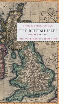
GUIDES TO DUTCH ATLAS MAPS: THE BRITISH ISLES, VOLUME 1: ENGLAND.
New Castle and Houten: Oak Knoll Press and HES & DE GRAAF, 2011. 5 x 9.5 inches. Hardcover. 256 pages. This is the first in a series of sixteen reference guides designed for the historic and antique map collector, curator, or enthusiast. Between the sixteenth and eighteenth centuries, the Netherlands had a thriving map production and publishing industry, with figures like Johannes Blaeu and Abraham Ortelius leading the Dutch cartographic industry. The maps produced in..... READ MORE about GUIDES TO DUTCH ATLAS MAPS: THE BRITISH ISLES, VOLUME 1: ENGLAND
Price: $49.95 Order nr. 105517

